East Prussia, a state in Germany, existed for about 800 years. The region was widely forested before the Teutonic Knights arrived around 1300. It was also composed of bogs and marshes. Certain sections, like the area where my husband's Oma lived, featured rolling hills. Others were dotted with small likes, like Masuria. Several rivers ran through the province including the Nieman and Pregel. The annual temperature was 20 degrees Celsius in the summer; their winters were extremely cold, although it was milder near the sea.
The six geographical areas in East Prussia were:
1. Memel Lowlands
2. Plains of Northern East Prussia
3. Isolated Heights
4. Central Depression
5. Baltic Heights
6. Southern Sand Plains
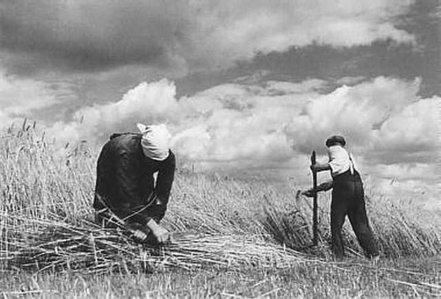
East Prussian land was excellent for growing crops or raising cattle due to its grassy pastures. It was known as the Breadbasket of Germany. This is why Mennonites moved to the area in the 1500's and farmed the land.
No comments:
Post a Comment